
League City Postal Codes and Coverage
USPS identifies 77573 and 77574 with League City as the postal city. That is the useful starting point, not a declaration that every address using either label lies inside municipal limits. The city Westside planning material also names nearby postal cities in the broader market. Those codes belong in address comparison, but the research does not support calling them League City delivery areas without checking a particular address.
| ZIP | Areas covered | Post office | Notes |
|---|---|---|---|
| 77573 | Main League City postal label; commonly used for central, eastern, and southern addresses | USPS postal city: League City | Exact delivery boundary must be checked by full address; its Census ZCTA is not a city-limit map. |
| 77574 | League City postal label, commonly associated with PO Box or secondary delivery use | USPS postal city: League City | The inspected bulletin does not state exact street-versus-PO Box coverage. |
| 77539 | Dickinson postal geography in the regional plan; possible southern or western edge confusion | USPS postal city: Dickinson | Do not treat every 77539 address as League City. |
| 77565 | Kemah postal geography in the adjacent Clear Lake area | USPS postal city: Kemah | No official League City delivery overlap was located. |
| 77546 | Friendswood in the broader Westside and Clear Lake market | USPS postal city: Friendswood | Regional comparison only. |
| 77598 | Webster in the regional plan | USPS postal city: Webster | Neighboring postal geography, not proof of city limits. |
| 77511 / 77517 | Alvin and Santa Fe in the regional comparison list | Postal cities: Alvin / Santa Fe | Not League City labels without address validation. |
| 77568 / 77591 | La Marque and Texas City in the regional comparison list | Postal cities: La Marque / Texas City | Regional comparison only. |
| 77058 | Nassau Bay in the wider planning market | USPS postal city: Nassau Bay | Not evidence that it serves League City. |
The table separates confirmed postal labels from neighboring comparisons because postal geography is address-specific. The 77573 and 77574 entries are the confirmed League City labels. The other entries explain why an address near an edge, a historic file, or a regional contact list can carry a different city name. A particular street address requires USPS validation and a municipal or parcel comparison.
Note: A postal city label is useful for mail and address research, but it does not replace a city-boundary or property-record check.
Verify a League City ZIP Code With USPS
The official USPS ZIP Code Lookup is the address-to-postal-code tool for a particular League City location. Use the whole street address rather than a neighborhood name, a Census number, or a presumed city line. USPS resolves the delivery address. GCAD and county map layers then answer a different question: where the physical parcel is mapped and which geographic boundaries apply to it.
The USPS ZIP Code Lookup is the source for this League City ZIP code directory image.
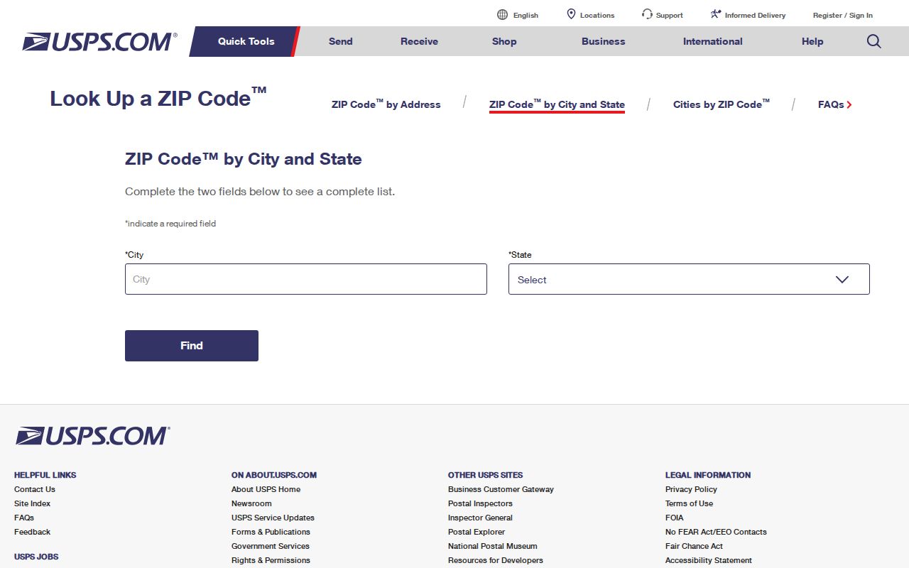
A postal result is most reliable when preserved with the full address and the date checked. Compare it with the GCAD situs address rather than assuming that an owner's tax mailing address has the same postal label. That distinction matters when a property owner receives mail elsewhere or uses a PO Box.
- Enter the complete League City-area street address in USPS ZIP Code Lookup and retain the postal city and code returned.
- Search the same address in GCAD, using street number and the simple street name if needed, and copy the situs address and parcel identifiers.
- Compare the parcel in the county or GCAD map with the city-boundary layer. The map is an orientation tool and is not a legal survey.
- Record the source and date for the USPS result, mapped situs, and any tax mailing address. Do not collapse them into one label.
Practical check. Verify the full address in USPS, compare the parcel in GCAD or city GIS, and keep the source date beside each postal or municipal label.
GCAD Fields for League City ZIP Research
Galveston Central Appraisal District eSearch is a property portal, not a ZIP-wide people index. Its inspected fields include street number, street name, owner, Property ID, Geographic ID, subdivision, neighborhood, property type, and tax year. A clear ZIP field was not visible in the captured interface. Use it after USPS has verified an address, or use street and parcel fields to inspect a specific property. Do not promise a ZIP-wide GCAD result until a current live interface shows that control.
GCAD eSearch is the source for this League City ZIP code directory image of the advanced property search.
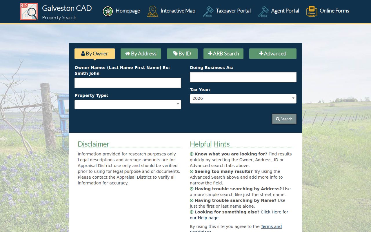
The form supplies address and parcel context after a postal check. Its result card can display an indexed owner, mailing address, situs address, legal description, owner and geographic identifiers, exemptions, and value fields. An indexed owner is not a complete household list, and the mailing address may be unrelated to the property's delivery label.
| Portal field | Captured format | Use after a postal check |
|---|---|---|
| Street Number | Text | Matches the numbered address component. |
| Street Name | Text | GCAD advises a simple name without prefix, suffix, or unit. |
| Owner Name | Text | Accepts last-name-first style; first or last alone can be tried. |
| Property ID / Geographic ID | Text | Targets a specific property or mapped parcel identity. |
| Subdivision / Neighborhood / Condo | Autocomplete or list | Narrows addresses within a development. |
| Property Type / Tax Year | Dropdown | Uses portal-defined categories and available tax years. |
| Abstract / MobileHomePark | Autocomplete or list | Adds alternate appraisal context where applicable. |
| DBA / Owner ID | Text | Searches an indexed business name or owner account. |
| ZIP field | Not visibly captured | Do not assume the portal provides a ZIP-wide search. |
Limits of ZIP Searches in League City
Few official systems treat the postal code as their main search key. USPS resolves a full address. GCAD's captured interface supports property and address fields but not a clearly visible ZIP control. The Texas voter lookup is oriented to a name, VUID, or Texas driver-license or ID information, not a postal-code browse. Its result confirms a specific registration under the system's access rules; it is not a public ZIP roster.
The full Texas voter-file request can be reduced by address, district, or precinct through the Secretary of State's public-information request form, but it requires delivery selections, an affidavit, and the listed $75 deposit. Protected voters and confidential information remain limited. Municipal permits, code records, and court or county requests can be narrowed by address or date, but the research found no official ZIP-wide resident output. Once a postal check narrows an address to a street, use the By Street workflow for parcel, map, deed, and permit records.
Postal Edges Around League City
The useful comparison is not "inside versus outside" based on a code alone. USPS names 77573 and 77574 as League City postal labels, 77539 as Dickinson, and 77565 as Kemah. The city's regional planning list adds nearby Friendswood, Webster, Alvin, Santa Fe, La Marque, Texas City, and Nassau Bay codes. Those labels describe postal or market geography and can expose an edge-case address, but they do not certify municipal coverage.
The USPS Postal Bulletin reference is the source for the League City postal-label screenshot.
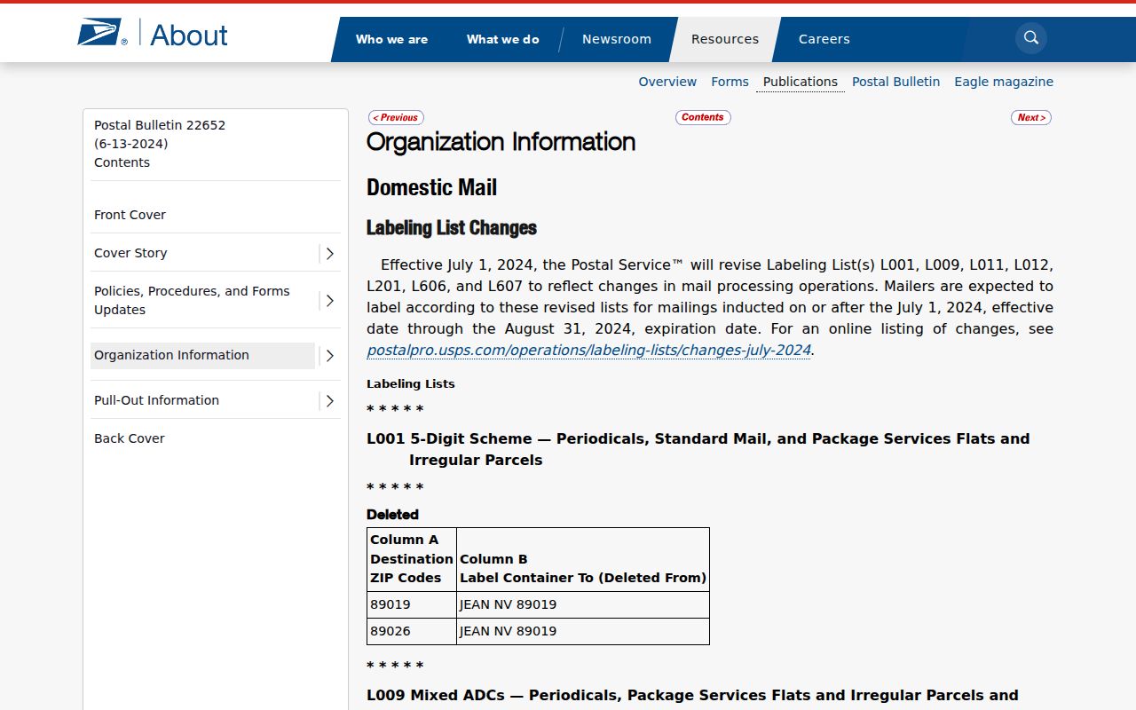
The Postal Bulletin supports the confirmed city labels, while the full USPS address tool remains necessary for a particular street address and the parcel map remains necessary for a municipal-boundary question.
| Confirmed League City postal labels | 77573 and 77574 are identified by USPS as League City. |
|---|---|
| Nearby labels that cause confusion | 77539 is Dickinson and 77565 is Kemah; neither should be assumed to be a League City address. |
| Regional planning comparisons | 77546, 77598, 77511, 77517, 77568, 77591, and 77058 belong to nearby postal-city comparisons, not a League City ZIP list. |
No official League City ZIP split or realignment history was located in the research. It is better to state that gap than attach a date to a boundary change without a USPS address-management record or city GIS file. The exact city boundary remains a parcel and GIS question.
League City ZIP Boundaries and City Limits
Postal boundaries, Census tabulation areas, and city limits are different maps. A League City-limits parcel may use a neighboring postal city, while a League City postal label can appear outside the municipal line. Census 77573 is a ZCTA, a statistical approximation rather than a USPS delivery polygon or legal boundary. For a city-limit question, compare the address with the GCAD or county parcel map and the municipal layer after using USPS for delivery validation.
- ZIP versus ZIP+4
- A ZIP is the broader postal code. ZIP+4 adds a delivery-sequence detail to a full address; neither one establishes the city limit.
- PO Box ZIP
- A postal code used for box or secondary delivery. The research associates 77574 with this kind of use but does not state every street it covers.
- Unique ZIP
- A code assigned to one organization or destination. No League City unique ZIP was established in the research, so none is listed here.
- Carrier route
- A delivery sequence within a postal area. It is not a municipal boundary, parcel boundary, or public household list.
Boundary reminder. ZIP is a delivery and statistical key, city limit is a municipal or GIS key, situs is the physical parcel, and mailing is the address used for correspondence.
League City Situs and Mailing Labels
One property can carry three important descriptions. The situs address identifies the physical parcel and is mapped by city or county GIS. The mailing address tells GCAD where tax correspondence is sent, which can be a PO Box or a location outside 77573. The legal description is the title-oriented lot, block, abstract, or metes-and-bounds description in deed research. Preserve all three with the source and date instead of choosing one as the universal address.
This matters in League City because older material can also use Clear Creek or Clear Lake Area rather than the modern city label. A historic directory can name an address without any ZIP at all. A property deed can describe a lot rather than a street. Those are compatible records only after their time, locality label, and parcel evidence are compared.
Note: A different mailing label may be normal tax correspondence, not evidence that the physical parcel changed cities or postal codes.
League City ZIP Counts Need Context
Population figures do not create a resident list. Census QuickFacts reports League City citywide population figures of 83,560 for 2010, 114,392 for 2020, and a 2025 estimate of 119,905. None of those numbers should be assigned to 77573 or another postal code. The federal census also has a different purpose: 1950 is the latest released full census under the 72-year rule, while 1960 opens in April 2032. Historical census households can help with a dated family question, but they are not a current postal directory.
Use postal codes to validate delivery geography, a parcel map to compare municipal geography, and dated historical sources only for the period they cover. That separation keeps a League City ZIP code directory useful without turning a statistic, a delivery label, or an owner record into more than its source supports.